05
JunAerial surveys with drones start in south adriatic
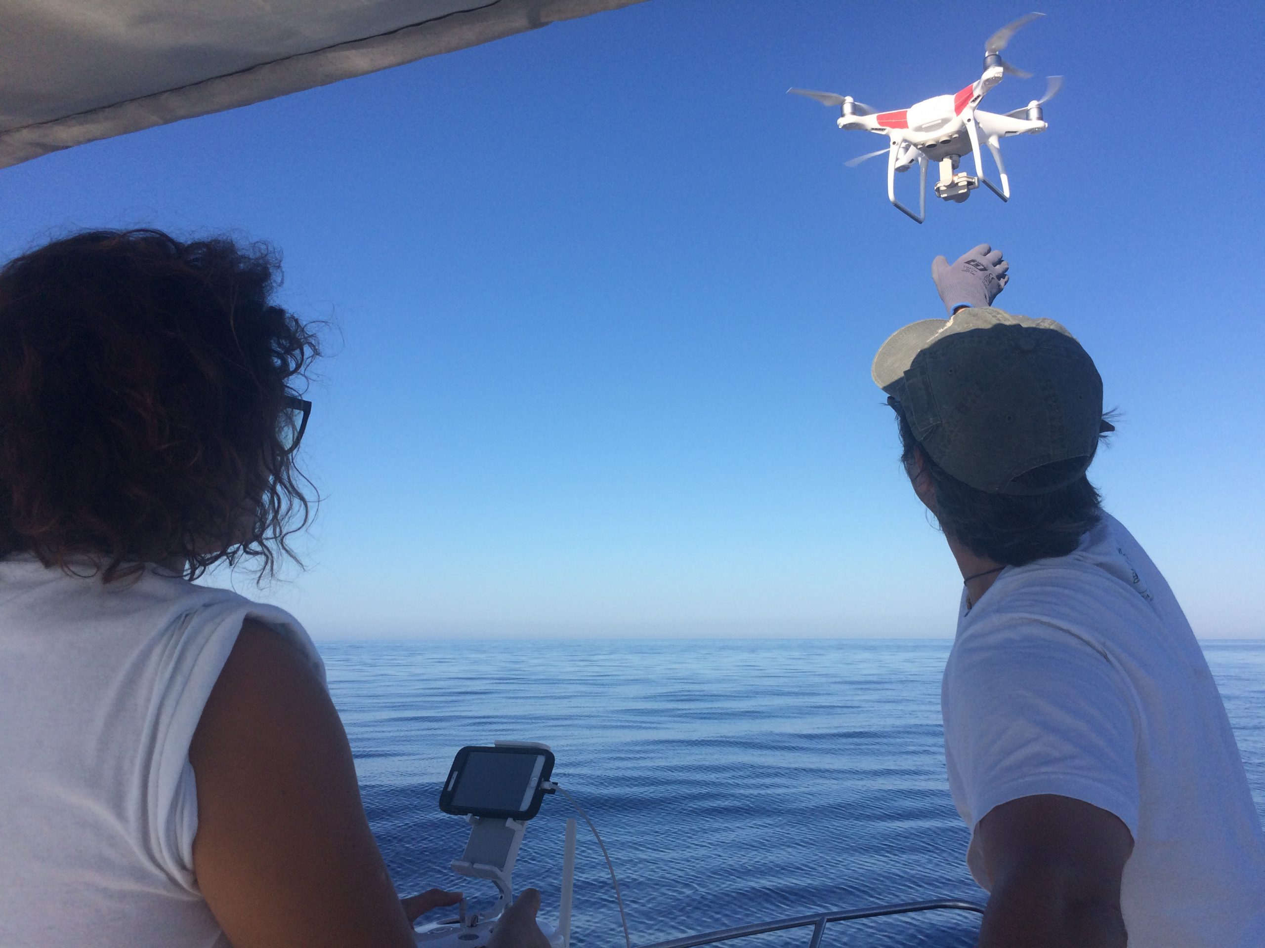
 Drones will be used to better understand the fine-scale distribution of sea turtles in order to identify possible conservation measures based on spatial management. Yesterday was the first day of the season, we went 5km offshore (one of our monitoring stations) with a large boat very good for launching and recovering the drone. We had some problems, though. The remote connection with the drone failed several times and we risked to loose it at sea. Fortunately today everything went smoothly, we succesfully conducted 7 transects at our second station 10km offshore. The main problem is that in this area the days with optimal weather conditions are rare. We need a calm sea and less than 10kmh wind. We look forward to analysing the recorded videos and data in the next winter!